Map Kibera
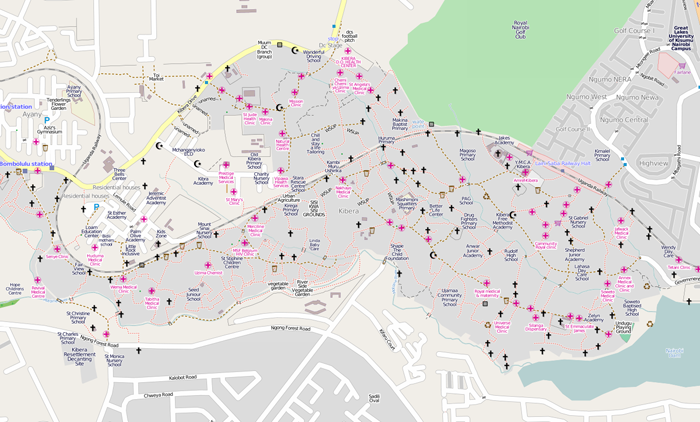
Information about communities is essential for planners and other professionals in development planning. It is not always easy however to collect this information and therefore it is often highly selective or on too high an aggregate level, leading to wrong assumptions and suboptimal plans. Map Kibera is a community initiative that collects a range of information on local amenities, services, housing and other community aspects and uses digital means to make this information accessible.
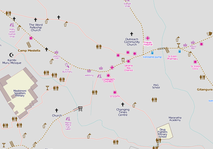
Local youth started mapping the unmapped informal settlement of Kibera in Nairobi, Kenya in 2009. They began to collect data about health services, water taps, schools and shops amongst others and made it available online via the free service streetmap.org. In this way it became accessible for those that have access to internet.
After this successful mapping initiative, which gained substantial recognition amongst organisations like UN Habitat, Map Kibera started carrying out deeper surveys and collecting information about rents, population and building materials. All the data is collated with the use of free GIS software. Local volunteers have been trained to help collect the data, while hundreds of others have been trained to do similar work in their communities.
Map Kibera, with little financial means, helps residents to find essential services (such as medical clinics, toilets and drinking water taps) which can have a substantial health and well-being impact. In addition, professionals are enabled to understand the area better which can facilitate the delivery of essential aid for many impoverished residents.

Information and pictures sourced from www.mapkibera.org | //mapkiberaproject.yolasite.com/ | www.streetmap.org | All rights reserved.